13 November 2012
Unlike the last trip back to Port Moresby, I decided to take the first flight out of Sibu to Kuching this time. From there, I would be able to fly to Singapore and arrive by mid-day. My intention was to give myself time to explore more of Singapore before my flight to Port Moresby at about mid-night the same day.
On the flight from Sibu, I met a friend from JTH who was travelling with two friends to Singapore. During the conversation, I mentioned to her that I would be exploring Singapore but my mobility was quite restricted as I would be carrying my notebook PC, camera and a small bag. She suggested to me that I kept my bags at the left luggage. Though I was aware of the facility at the airport, I have read that it would be expensive. Anyway, on arrival at Changi Airport, the first thing I did was to find the left luggage office.


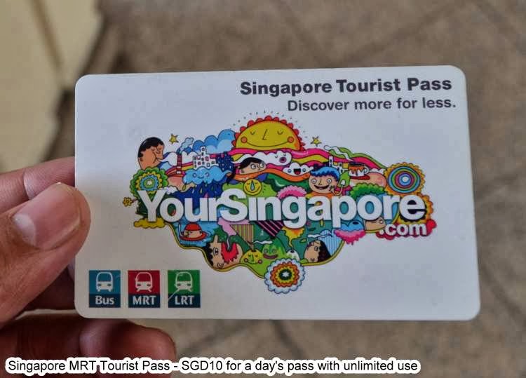
I felt so light without my hand-carry luggage and PC. I would only be carrying my DSLR camera. Then, I was off to the MRT ticket office to buy my MRT Tourist Pass for unlimited use for a day.


After getting the pass, I was soon on my way to my first destination of Bugis Station. Bugis Station was where I took the wrong exit and got myself lost finding my hostel the first time I ventured into Singapore City on my own nine months back. This time, I came more prepared.
On the way up to the street level from the underground MRT Bugis Station, I was really surprised that there were so many food stalls at the first basement level. I was spoiled for choice, walking from stall to stall to see what were on offer. In the end, I bought nothing and ended up having my first meal at Tong Seng Coffee Shop, which was situated at the corner of North Bridge Road and Liang Seah Street opposite Bugis Junction.
On the way up to the street level from the underground MRT Bugis Station, I was really surprised that there were so many food stalls at the first basement level. I was spoiled for choice, walking from stall to stall to see what were on offer. In the end, I bought nothing and ended up having my first meal at Tong Seng Coffee Shop, which was situated at the corner of North Bridge Road and Liang Seah Street opposite Bugis Junction.


There was nothing of interest to me, so I strolled out of Bugis Junction and walked around the five-foot way. Then, I saw Bugis Street and decided to check it out. It was very crowded and there were many food stalls too!


After about 45 minutes at Bugis Street, I walked back to Bugis Junction. This time, I explored the floors above the street, including Food Junction. Food Junction was so crowded with diners. I did not want to order food at a counter and finding myself without a seat later on. So, I decided to go back to Liang Seah Street for my dinner. This time, I went to Yu Kee Duck Rice, which I later found out was a very famous duck rice franchise in Singapore.


At about 5:50 p.m., I decided to return to the airport. My Tourist Pass was redeemed at the same MRT office at the airport. Later that evening, I found myself queuing alone at the Air Niugini check-in counter. There was no flight that evening, and I did not know that. The flight was on the following day and I was in deep trouble. I had to act fast, to book a place to sleep for the night and to get a new ticket for the flight the next evening.
Fortunately, there was a reservation counter at the airport offering budget hostels and shuttle bus service for people in my situation. I booked myself into the cheapest room available in Singapore from Hotel Reservations (S) Ptd Ltd and took a shuttle bus to the hostel.
Fortunately, there was a reservation counter at the airport offering budget hostels and shuttle bus service for people in my situation. I booked myself into the cheapest room available in Singapore from Hotel Reservations (S) Ptd Ltd and took a shuttle bus to the hostel.


